Breaking News
- Quick Links
- About Us
- Contact Us
- E-Paper

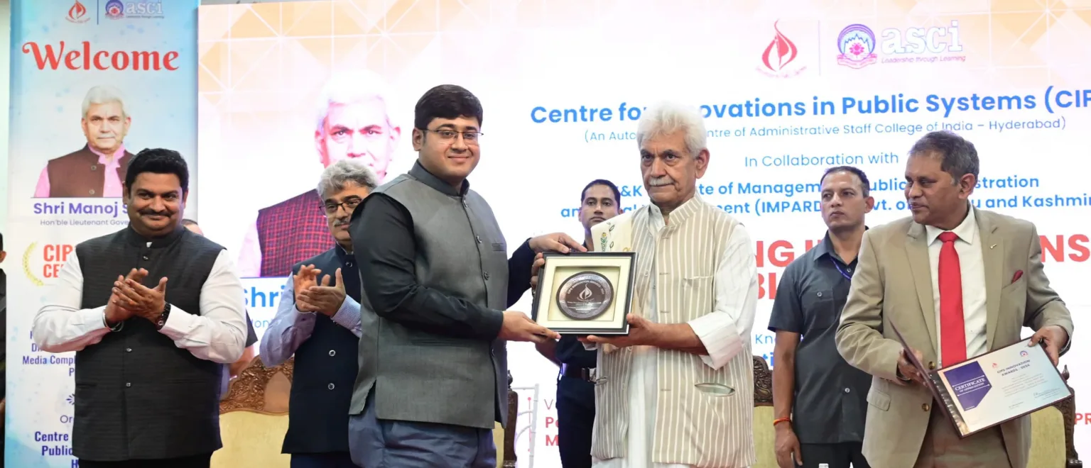
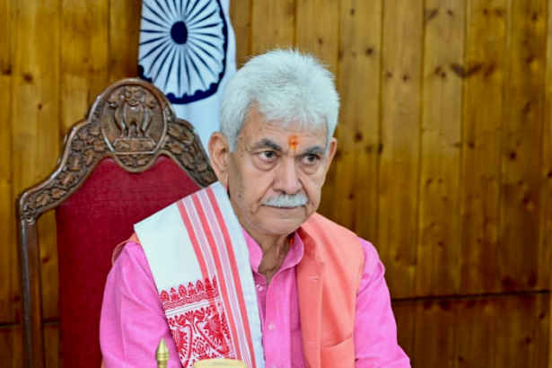
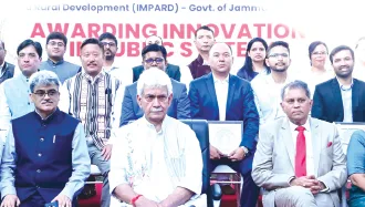
Lieutenant Governor Manoj Sinha on Friday felicitated the winners of the Centre for Innovations in Public Systems (CIPS) Awards at a ceremony held in Srinagar. The CIPS awards recognize and…
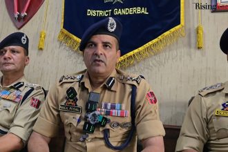
Srinagar, Aug 22: Lieutenant Governor Manoj Sinha on Friday terminated the services of two government employees in the Union Territory over their alleged involvement in terror activities, officials said. The sacked…


Applications, through online mode, are invited from applicants, who are domiciled in…
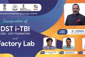
Awantipora, Aug 22: In a major boost to innovation and entrepreneurship in…
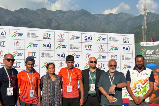
Students cite difficulties in travelling to Beerwah, Magam colleges

Leh, Aug 22: Bollywood superstar Salman Khan has officially commenced shooting for…
Applications, through online mode, are invited from applicants, who are domiciled in…

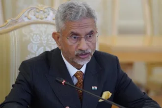
- Union Minister says National Mission launched for Himalayan ecosystem sustainability -…
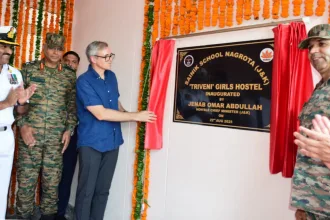
Jammu, Aug 22: Sainik School Nagrota marked its 56th Raising Day with…

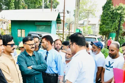
Jammu, Aug 22: Deputy Commissioner Jammu Dr Rakesh Minhas on Friday called…
•Report projects doubling of heatwaves, 43% surge in extreme rainfall by 2030


Indian Space Research is entering into a new era that will define the nation’s roadmap for Viksit Bharat 2047.This was…

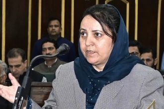
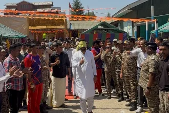
Srinagar, Aug 22: Cabinet Minister Javid Dar on Friday said the Assembly…