Hyderabad, Oct 11: India’s geospatial economy is expected to cross Rs 63,000 crore by 2025 at a growth rate of 12.8% and provide employment to more than 10 lakh people, mainly through Geospatial StartUps.
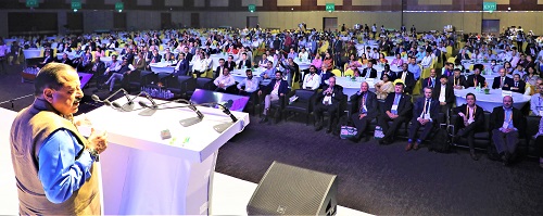
This was stated here Tuesday by the Union Minister for Science and Technology and Ministry of Earth Sciences, Dr Jitendra Singh while addressing the Second United Nations World Geospatial Information Congress (UN-WGIC) 2022 here Tuesday.
The 5-day conference is being attended by over 2,000 delegates including 700 plus international delegates and participants from about 150 countries.
Dr Jitendra Singh pointed out that the Rural Development Ministry has mapped over 45 lakh km of rural roads by using 21 data layers of the map, which has digitized information regarding water bodies, green areas, plots, and other structures essential for administrative purposes. He also informed that nearly 2.6 lakh gram panchayat had been covered by the ministry under the scheme of mapping and digitization. The Minister said, evolving technologies in geospatial sector has brought about transformational changes whereby even an inch of a land in India can be mapped, thereby providing solid backups for Indian land reforms.
Addressing the Members of the United Nations Department of Economic and Social Affairs, the UN-GGIM Secretariat, International Delegates, and esteemed participants at Geospatial Congress, Dr Jitendra Singh pointed out that the Government of India released the new geospatial data guidelines in 2021, where it acknowledged the benefits of availability of comprehensive, highly accurate, granular and constantly updated representation of Geospatial Data in diverse sectors of the economy with the belief that it will significantly boost innovation in the country and greatly enhance the preparedness of the country for emergency response.